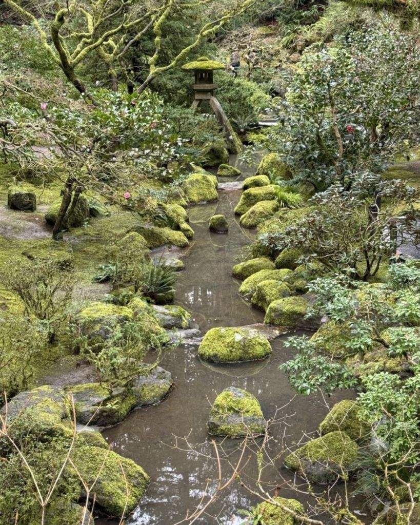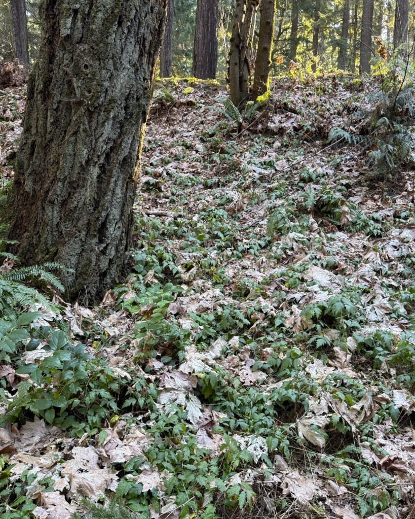
Eight years ago, when Rose City Bluff Restoration volunteers began clearing blackberry from around significant native trees and shrubs, some of the first areas cleared were around the Arbutus menziesii (Pacific madrones). The mature madrones on the Bluff were probably planted in 2001 and left to fend for themselves. “Madrones often thrive where other trees struggle — in rocky, arid soil, on dry slopes, or even clinging to inhospitable roadside banks. If you do coax a madrone to grow in your garden, water it infrequently and deeply, if at all, once it’s well established.” (OSU Extension Service).
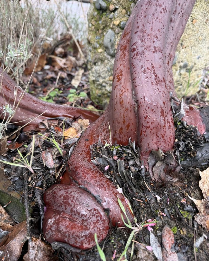
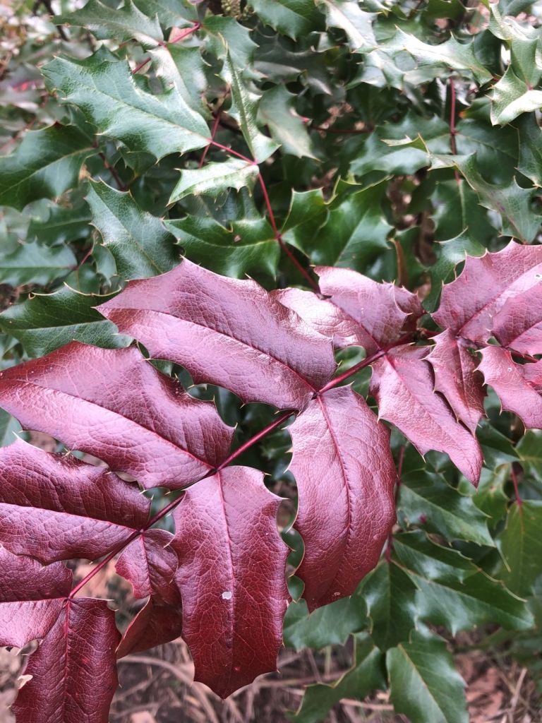
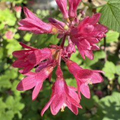
We’ve been wondering about the madrones and their similarity to another Pacific Northwest native, Arctostaphylos Columbiana (hairy manzanita). (Note, the manzanita pictured below is not the hairy manzanita native to this area.) Belonging to the Ericaceae (heath) family, we assume madrones and manzanitas have a common ancestor. Both plants have thick, leathery leaves. Besides sharing smooth, peeling bark, they have small urn-shaped flowers and red berries. Both may have twisting, branching growth habits. Both species may be found on rocky, windy coastal bluffs or steep sunny slopes. But what’s up with the unusual convoluted forms? And why do they both shed bark?
Here’s a summary of why they may have similar forms. This was second sourced from Google AI (Gemini). I wouldn’t take this as proven fact but rather as helpful speculation. Madrones and manzanitas have convoluted forms to maximize survival in challenging, competitive, and often dry environments. Their gnarled appearance is a result of their growth habits, which favor finding light, resisting harsh weather, and managing resources efficiently. Their branches twist, turn and bend to optimize exposure to light in brushy habitats. Or the convoluted growth habit is due to environmental pressures such as steep terrain and windy conditions as well as heavy snow loads. Or it’s a fire related strategy – they often grow in areas prone to fire and develop a woody tuberous burl at the base, allowing them to resprout even if the main trunk dies. This results in clumped, multi-stemmed, and crooked forms as they regenerate. So, the convoluted form of madrones and manzanitas may be a combination of genetic, adaptive and environmental factors due to challenging, light-limited, or high-stress environments. In these locations, they adapt to high wind and low water by becoming short, stocky, and convoluted to reduce drag and prevent toppling.
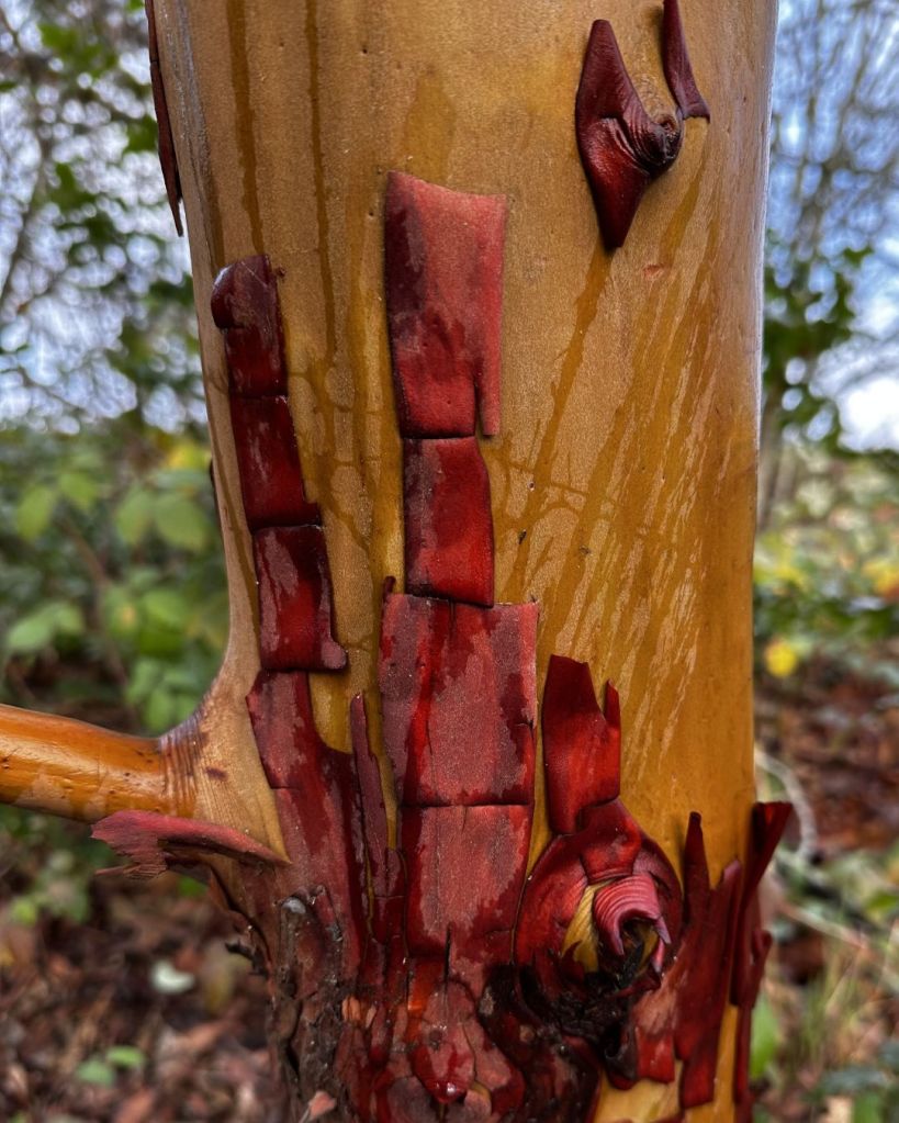
Why do madrones and manzanitas have exfoliating bark? Possibly as a pest and disease defense. The shedding removes accumulated fungi, bacteria, and insects. Or during the annual summer drought, shedding exposes green bark so it can photosynthesize, allowing the tree to continue producing energy. Or as the tree expands in girth the old bark peels away to make room for new growth. Or the smooth and sometimes slippery new bark prevents epiphyte growth (like lichen or moss) that could damage the tree. Or the exfoliating bark promotes fires and allelopathic qualities to reduce surrounding competition for light. Or it’s for temperature regulation. The madrone is sometimes referred to as a “refrigerator tree” because it feels cool to the touch on hot summer days.
Something to ponder when clearing blackberry around the madrone or manzanita.